|
July
26, 1983 Tuesday (851.7 mtg) From
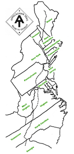
Gonzo!s Appalachian Trail journal
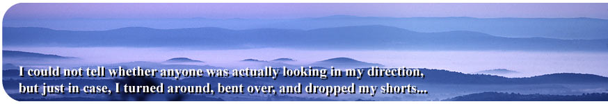
There
was no "sunrise" from Sunrise Mountain this morning, the
atmosphere was somewhat hazy, and the fog was hanging in the valley
below. But at this time of the year the sun came up behind a group
of trees that blocked direct view anyway. The scene was impressive
none-the-less, and had a calming effect on the spirit. We packed
up our gear before anyone could accuse us of having spent the night
at the pavilion, and headed north on the trail.
About
six miles farther up the trail, I took the quarter mile long side
trail to Rutherford Shelter to obtain water from the spring that
had not gone dry yet. By that time we had entered the boundaries
of High Point State Park, and occasionally we were treated to a
view of the obelisk that is located on High Point Summit. I climbed
up a wooden viewing platform as I approached the monument, and could
see the people at the base of the monument as they walked around,
and noticed there were some of those binocular telescopes mounted
there for the viewing public. I could not tell whether anyone
was actually looking in my direction, but just in case, I turned
around, bent over, and dropped my shorts to allow them to see
the moon rising over my waistband. Within the hour I found myself
at the monument as I took a little side trip to check out the facilities.
I did not use the telescopes to see if a moon was rising back at
the viewing platform. High Point is, of course, the highest point
in New Jersey at just over 1600 feet. I ate lunch while at the monument
at a small concession stand located just below the concrete base.
The expected terrain afterwards did not seem to match the profile
shown on the back of my map for the area immediately following High
Point Monument, perhaps the trail had been relocated since the printing
of the maps, or the scale was so wacked out that it threw me off.
I secured a quart of ice cream while passing by the town of Unionville
and then continued along the long roadwalk past the sod farms to
Liberty Corners. Just before leaving the roadwalk, I got some water
from local residents before the hike up Pochuck Mountain. They told
us there was a lake near the summit that would make a nice camping
spot, so off we went in search of the lake. We never found the lake,
but the search had taken us a couple of miles beyond where we had
expected to be for the night. I camped in a small clearing next
to county road 565 as I recall, and had the company of at least
one other hiker that I can remember* (Paul, I think). Those extra
miles put us farther along toward Rogers' cottage, where I was scheduled
for tomorrow night.
* Note Feb 25, 2012 from Marcel Montville: It was Paul Nichols,
and he, Marcel, had also that spent the night in the clearing with
me)
Gonzo!
Appalachian Trail Journals ©1983
|